Post oak & blackjack oak
Where it shows upCross Timbers uplands.
Project effectSlow-growing mature canopy has high site value. Protect root areas and keep grade changes away from retained trunks.
 DentonLand Clearing
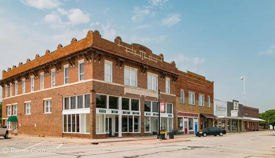
Sanger, Texas
Sanger sits close to Ray Roberts Lake and includes prairie, Cross Timbers woods, and creek-bottom vegetation with very different moisture and access behavior. Every project is approached with careful execution and close attention to the finished result.
Local ground, local decisions
Ray Roberts Lake State Park describes the region as Eastern Cross Timbers with post oak, blackjack oak, cedar elm, and winged elm, plus prairie grasses and floodplain trees.
Rural parcels around Sanger often include long drives, ponds, hunting or recreation access, and wooded areas owners want to enjoy rather than completely remove.
The area can change quickly from open grassland to dense post oak woods or floodplain trees. That makes field observation important: species, slope position, and soil moisture often tell more than acreage alone.
Trees & vegetation
Tree species can hint at drainage, soil, historic land use, and maintenance needs. Identification, health, and exact site conditions should still be confirmed on the property.
Where it shows upCross Timbers uplands.
Project effectSlow-growing mature canopy has high site value. Protect root areas and keep grade changes away from retained trunks.
Where it shows upMixed woods and lower slopes.
Project effectDense understory can restrict access; selective thinning opens the woods without converting them to bare ground.
Where it shows upFloodplains, streams, and wet draws.
Project effectOften correspond with softer soils and active drainage. Clearing near banks should prioritize stability and current water rules.
Where it shows upEdges and unmanaged uplands.
Project effectMulching can reclaim trails and pasture edge, but thicker stems may require staged processing.
Upland clay and sandy loam behave differently from alluvial creek-bottom soil. Near drainages and lake tributaries, saturated ground and erosion risk may set the schedule and clearing limits.
Tree-to-finish diagram
A tree can stay, be processed at the surface, or be removed with its root system. The future use makes the decision.
Important: A visual tree check is not an arborist risk assessment. Valuable, protected, or questionable trees may need review by a qualified arborist.
Planning in Sanger
A machine route that is firm on the ridge may fail in the draw. Plan crossings and production zones separately.
Selective trail, pond, and understory work can improve visibility and use without erasing the wooded character that makes the acreage appealing.
Properties near mapped floodplain, Corps land, or regulated drainage may require additional review before vegetation or grade is changed.
A better project sequence
Confirm boundaries, easements, utilities, drainage, and the future layout.
Identify clearing limits, keeper trees, access, staging, and protected areas.
Use mulching, cutting, grubbing, haul-off, or a combination by zone.
Backfill, rough grade, stabilize, and leave a defined handoff for the next trade.
Services in Sanger
Start with the closest match. Related work can be coordinated into one clear, quality-focused site plan.
Clear, grub, and prepare property for construction, agriculture, access, or sale.
Service details →Process brush, cedar, saplings, and unwanted understory into an onsite mulch layer.
Service details →Remove selected trees, root balls, storm debris, and unwanted material from the work area.
Service details →Shape rough ground and create workable routes for vehicles, equipment, drainage, and construction.
Service details →Open maintained corridors for fencing, utilities, equipment, recreation, and inspection.
Service details →Reclaim grazing ground, maintain acreage, and manage regrowth over the long term.
Service details →Mulch, wood chips, topsoil, fill, and driveway aggregate delivered for property projects.
Service details →Common local projects
Before work begins
Quotes consider vegetation type and density, tree size, terrain, access, stumps, debris handling, acreage, and the finish expected after clearing. Photos help, but an onsite review is the reliable way to confirm scope.
The owner provides reliable boundaries, easements, and work limits. Public utilities must be located before digging, and private lines such as irrigation, septic, electric, or propane may need separate identification.
Tree-preservation, floodplain, burn, development, and grading requirements vary by property and project. Owners should confirm current rules with Sanger, Denton or Tarrant County as applicable, and any other authority before work.
Ecology and soil guidance is informed by the Texas Parks & Wildlife Cross Timbers overview, Ray Roberts Lake natural-area guide, and USDA soil survey resources. These regional references do not replace parcel-specific surveys, engineering, arborist advice, or current local requirements.
Top-quality work. Clear expectations.
We carefully plan and execute clearing, mulching, grading, access, and material work around the property, the agreed scope, and the result you expect.